The Kuskokwin River, Alaska
The Kuskokwim River is about 700 miles long, running from the hills and mountains in the Alaskan interior and empties into the Bering Sea. The majority of the river is flat and along with the Yukon River, composes one of the largest Delta’s in the world. I’ve heard the Yukon-Kuskokwim Delta is about the same size as the entire State of Louisiana. Generally, travel to the region starts at the hub village of Bethel, and from there you can travel to the more than 45 communities that are along the Yukon and Kusokwim Rivers, and along the Bering Sea Coast of the Delta. The image below was taken from the Indian Heath Services Yukon-Kuskokwim Delta Service Area profile (https://www.ihs.gov/sites/alaska/themes/responsive2017/display_objects/documents/hf/yk.pdf accessed Nov. 2023).
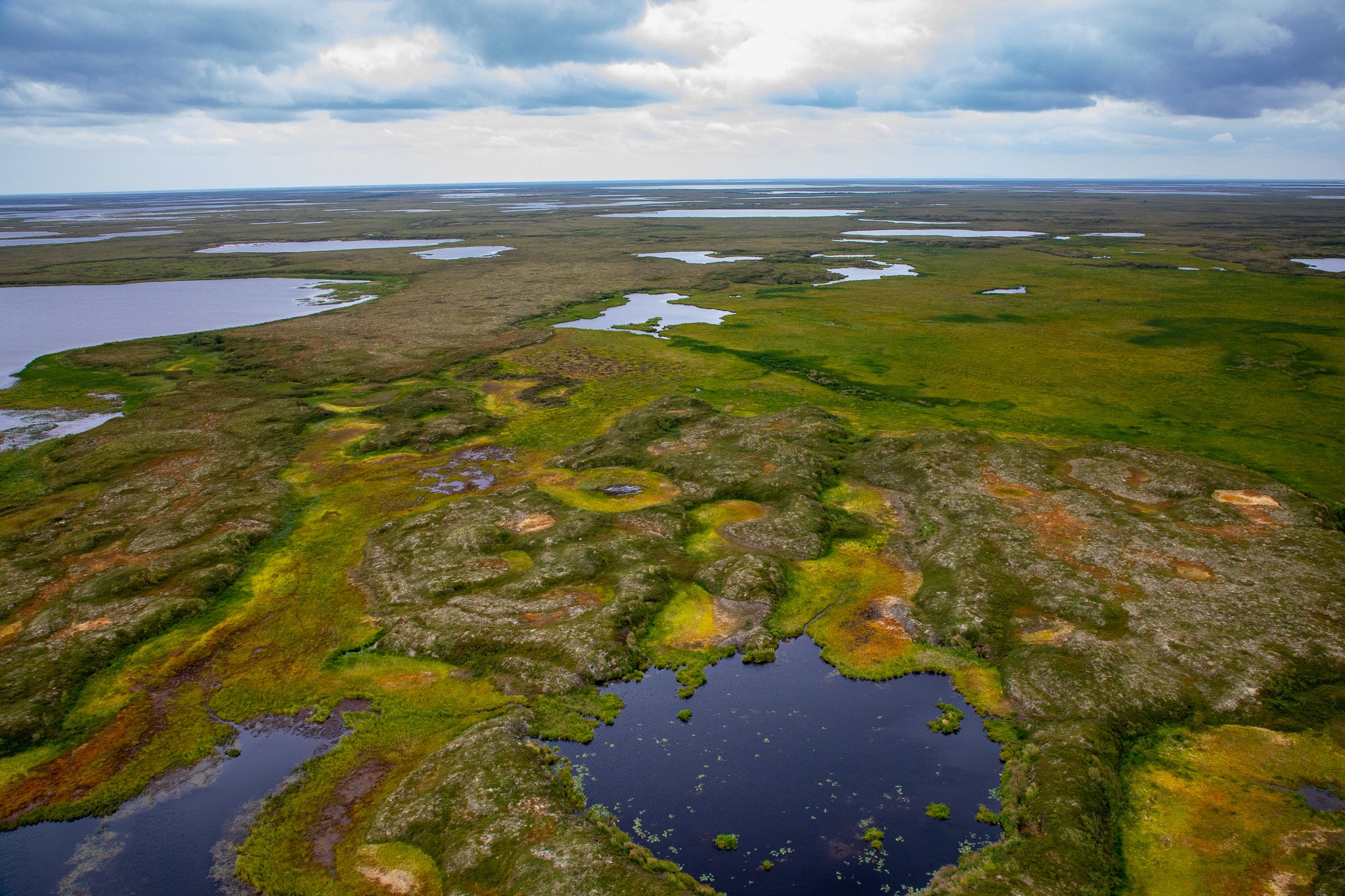
In 2019 I had a chance to help a colleague so some surveys on properties along the Kuskokwim River and the southern portion of the YK Delta. It’s such a large area, and the properties were so far from one another that we had to use a helicopter to visit them all. This page doesn’t have any people in them because it was just me, my coworker, and the helicopter pilot in some places that are very remote, and we didn’t actually stop in any villages except for Bethel. I’ll show some of the pictures and where they are along the River, it’s an amazing place that has an incredible amount of biodiversity. The Kuskokwim River and its tributaries act as a road system between villages, traveled by skiff in the summer, and by snow-machine or dogsled in the winter. The upper Kuskokwim has more pronounced topotgraphy, whereas the lower Kuskokwim and YK Delta have endless amounts of wetland. I was amazed by the colors in the tundra and vegetation, the yellows, greens, and reds were as vivid as the fall colors on trees in the lower 48.
Sunrise over the Kuskokwim River, northeast of Bethal, near Akiachak.
This is a beaver lodge near the village of Akiak.
One of the lower Kuskokwim River channels as it spreads across the delta. This picture shows the muddy sediment, and eroding banks. These channels can change quickly.
This one was outside of the Delta, and pretty far up the Kuskokwim River, but I figured I’d put it on this page. It’s between Sleetmute and Stony River along one of the thousands of small lakes dotting the region. I thought the colors of the vegetation were really cool.
The landscape looking inland from the Bering Sea coast south of Quinhagak.
The reflection on a very still lake east of the community of Sleetmute.
The marshy lakes between Bethel and Eek, lots of hues of greens and yellows.
A swath of fire-burnt trees with colorful tundra around it east of Stony River village.
Only the ground in the swath of fire-burnt trees with colorful tundra around it east of Stony River village.


